I’ve got an idea for a project (well, like 11% of an idea), but would need to 3d print a small facsimile of Sugar Loaf. Anyone know of an easy way to build that model from some online source? Wondering if Google Earth has a basic rendering of it that could be extracted, a la How to Extract 3D Models from Google Earth: A Simple Guide for Creative Projects
Really want to avoid modeling it myself, or expensive ways of getting a model made
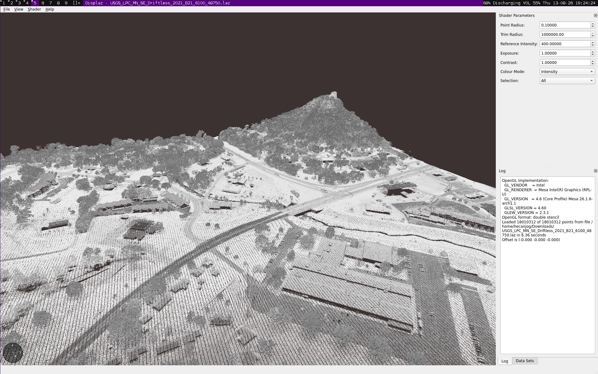
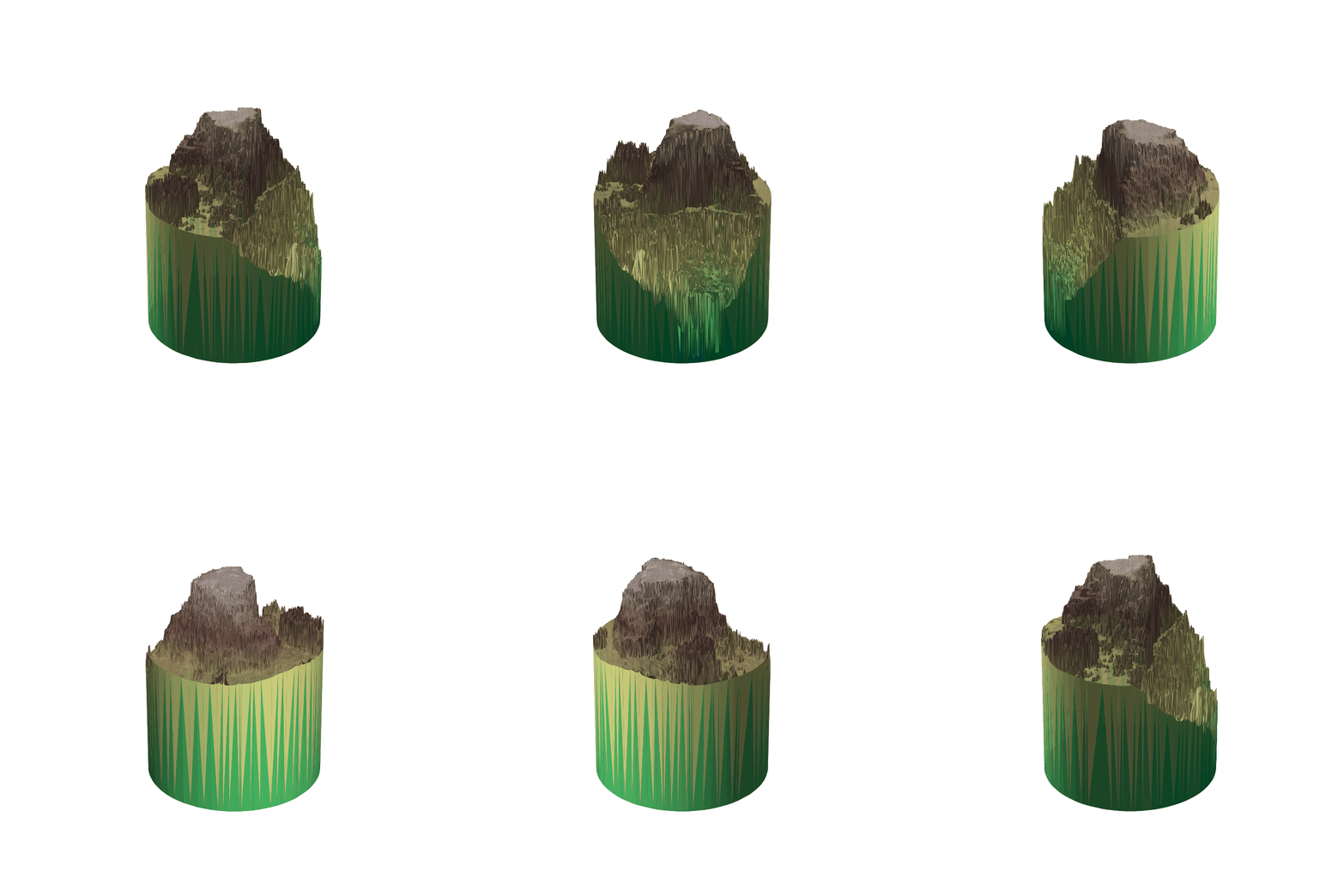
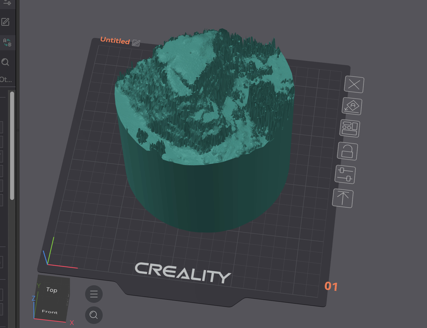
I have a python script that converts a portion of the laz file to a 3D model (basically finds the highest elevation in it then converts a radius around it). Here’s what it looks like and the model is available here (can’t upload anything but images here). The model could be moved below the build plate or cut to focus more on sugar loaf.
I have it setup to to run with uv, but if you don’t use that you can just use the python script and look at its dependencies in pyproject.toml. It expects USGS_LPC_MN_SE_Driftless_2021_B21_6100_48750.laz to be in the directory you run it from.